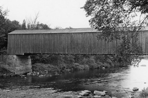
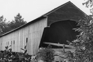
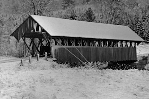
Bennett Bridge, Lincoln Plantation - Wilson's Mills Maine
Lincoln Plantation, in Oxford County, has the New Hampshire line for its west boundary, with Parkertown on the northeast and Magalloway on the south. It is about 40 miles N.N.W. of Bethel, and 20 miles east of Colebrook, New Hampshire, the Magalloway River runs through the midst of the township southward to its junction with the Androscoggin, near Umbagog Lake. In the eastern part is Lincoln Pond, whose outlet with Abbott Brook on the western side of tributaries of the Magalloway, and the principal streams of the township. The mountains are quite numerous, and consist of Aziscoos, Observatory, Half Moon, and Deer Mountains, ranging from 1,000 to 5,000 feet in height. The rock is chiefly granite. The soil is loam, with
More...